Australian Workshops
More than Maps Australia aims to enable students to use state-of-the-art geospatial techniques to understand climate change impacts on coastlines.
Our team of scientists has developed a series of workshops that demonstrate how you can combine satellite images, geospatial technologies, and socio-economic data to identify the fingerprint of climatic hazards on coastal regions and strategies to adapt to these challenges.

What will you learn?
In our workshops, you will learn techniques to analyse satellite and socio-economic data to identify the effect of climatic hazards on coastal ecosystems and communities.
You will use data collected from aeroplanes, satellites and in the field to detect damaged buildings after tropical cyclone events, changes in mangrove vigour after marine heatwaves, and model how people’s livelihoods change when climatic hazards damage ecosystems.
For more information on our workshops please contact Professor Bryan Boruff: bryan.boruff@uwa.edu.au
You can also find us here: http://morethanmaps.earth/
Learn more about our workshops in Australia
Get Involved
At present, our More than Maps team offers three different workshops, which are designed to last for about two hours each.
Our current themes include:
- Building damage in Kalbarri after Tropical Cyclone Seroja, Western Australia
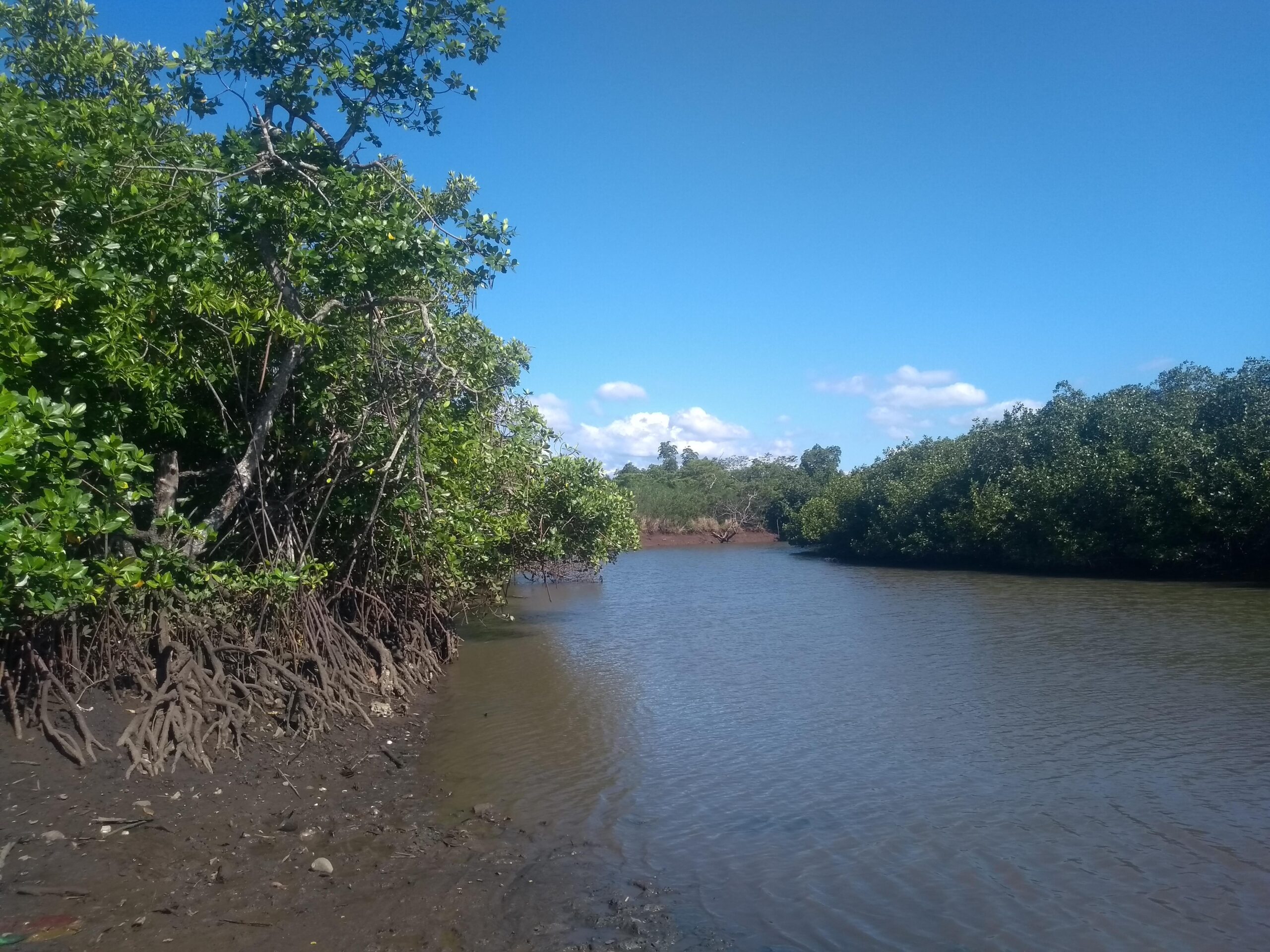
- Mangrove dieback in the Gulf of Carpenteria, Northern Territory
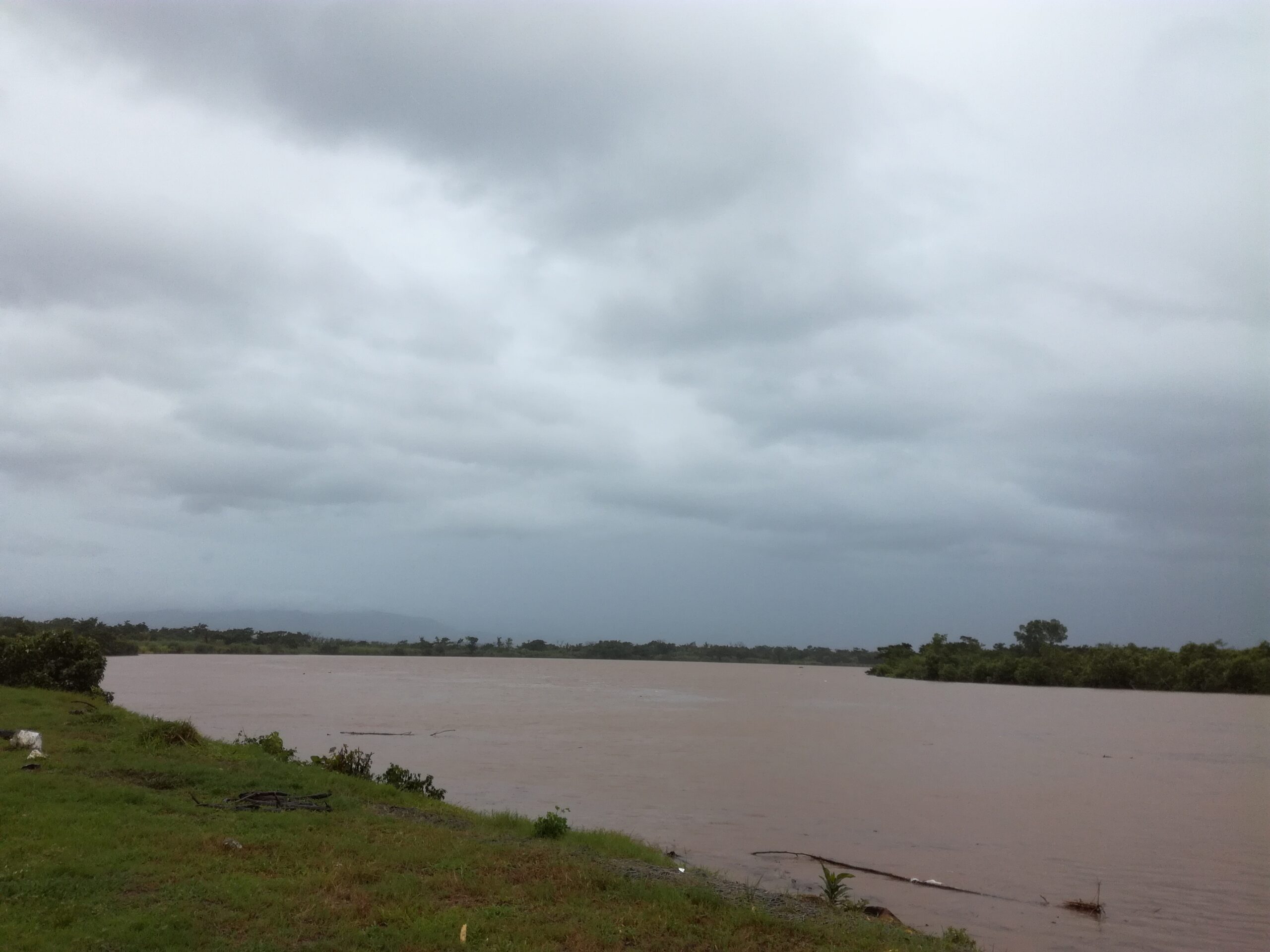
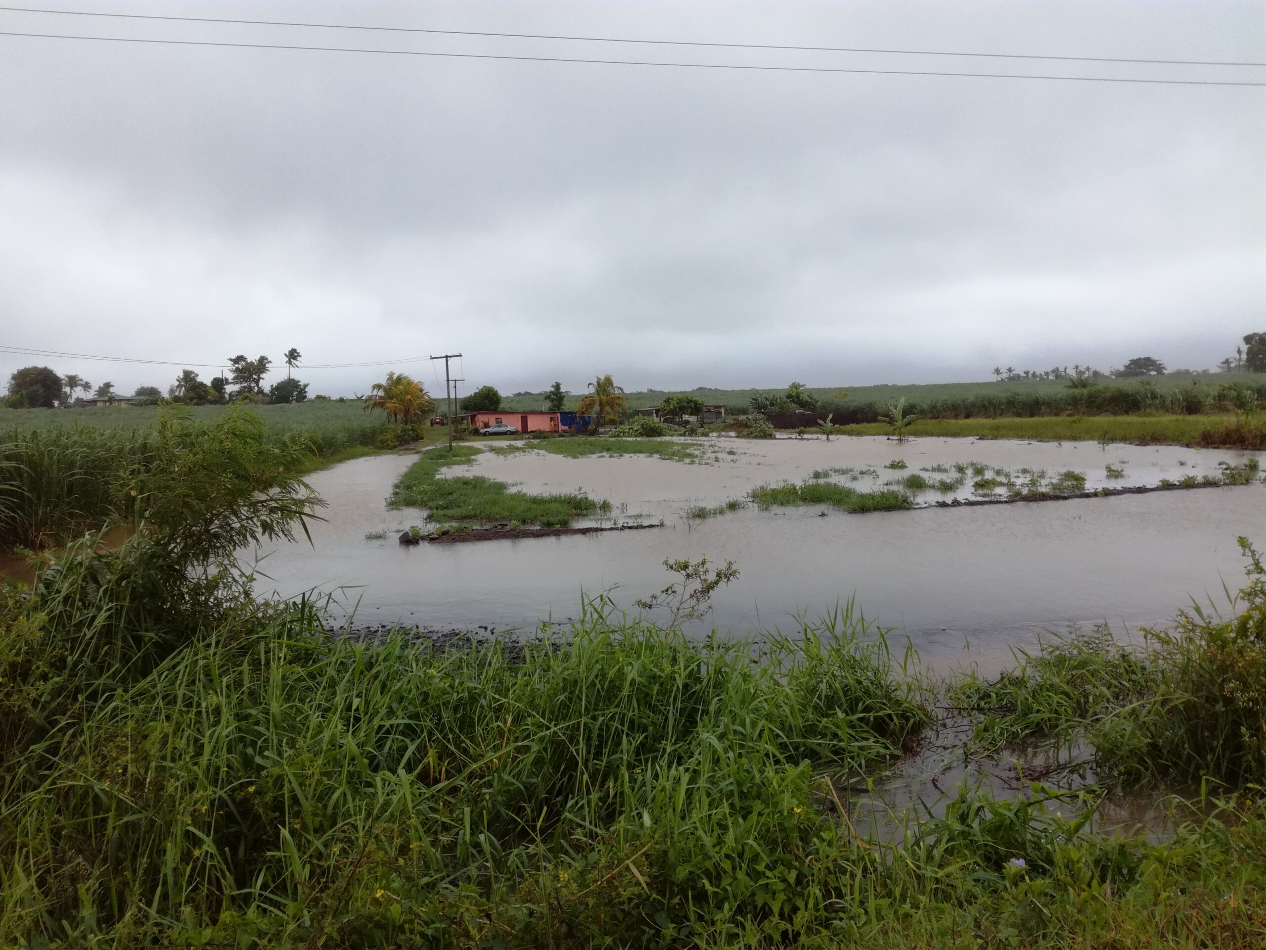
- Tropical Cyclone Winston’s impacts on mangrove ecosystem services in Ba, Fiji
For more information on our workshops please contact Professor Bryan Boruff: bryan.boruff@uwa.edu.au